WEATHER UPDATE: Strong storms coming
Published 11:28 am Tuesday, December 1, 2009
By Staff
Strong storms are headed into the area late tonight, Escambia County Emergency Management Director David Adams said Tuesday.
Adams issued the following weather update today:
A low pressure is system moving northeast and is expected to cross the north central Gulf Coast this evening and will bring a variety of weather with it. Strong to possibly severe storms with an isolated tornado is possible later tonight over inland southeast Mississippi and southwest Alabama. The possibility of severe storms will shift east of interstate 65 toward morning.
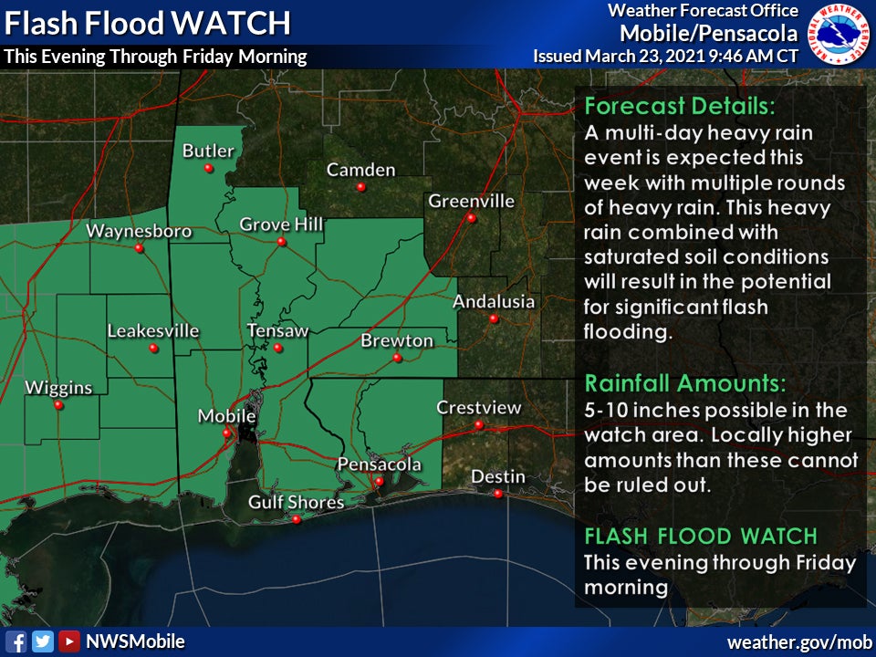
The low also may bring heavy rain and the threat of severe storms to the area overnight. There is a potential for very heavy rainfall especially along and southeast of interstate 65. Most locations will see rainfall totals of 2 to 4 inches with bands of 5 to 8 inches possible along a line from southeast of Mobile to Greenville overnight and into early Wednesday. A flash flood watch is in effect for tonight and Wednesday. These projected rainfall totals may cause stream flooding.
A few strong to severe storms may be occurring over the western Florida Panhandle and adjacent Alabama counties Wednesday morning. Some of these could produce isolated tornadoes.
A strong high pressure system builds into the region later in the week and brings the risk of freezing temperatures both Friday and Saturday mornings.