Karen still churning north
Published 8:48 am Friday, October 4, 2013

Tropical Storm Karen is still moving north-northwest in the gulf, with winds of 60 mph Friday morning, according to Escambia County Emergency Management Director David Adams.
“This track is expected to change more to the north later today,” he said. “Escambia County is well within the forecast track cone. Please remember that the cone represents the area that the center of the storm is forecast to follow and effects of the storm can reach many miles away from the center.”
Adams said the timing of the storm has slowed some from previous forecasts.
“We may see early effects such as scattered showers and gusty winds Saturday,” he said. “Winds and rainfall should pick up through the night Saturday and into Sunday. We should expect tropical storm force winds and heavy rainfall.”
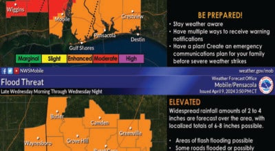
Among other potential effects, Adams said, rainfall totals could be 3 to 5 inches with some locally heavier areas seeing from 6 to 8 inches. This may cause some flash flooding, he said.
“As always, this forecast may change, so please stay tuned to local radio and TV stations and your weather radio for updates to the forecast and any possible watches and warnings,” Adams said. “Now is a good time to be sure that any loose items around your home or business are moved inside or secured. If we do experience damages such as downed trees and/or power lines, emergency crews will be working to clear roadways and restore power; so for their safety and yours, please do not travel unless absolutely necessary.”